
Surface Geophysical Surveys — Mapping the Subsurface Before You Drill
Meta description: ERT, SRT, IP, and magnetic surveys let engineers investigate the subsurface without a single borehole. Discover how Earth Care Products & Service uses surface geophysical methods to reduce risk and cost on groundwater and infrastructure projects.
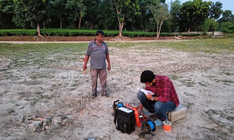
Before committing to the time and expense of drilling, there’s a smarter first step: mapping the subsurface from the surface itself. Surface geophysical surveys let engineers and hydrogeologists investigate what lies beneath a site — rock layers, water-bearing zones, faults, and mineral variations — without disturbing the ground at all.
At Earth Care Products & Service, surface geophysical studies are often the first phase of any serious groundwater or infrastructure investigation, guiding where and how deep to drill, and reducing the risk of an unproductive or poorly placed borehole.
The Core Survey Methods
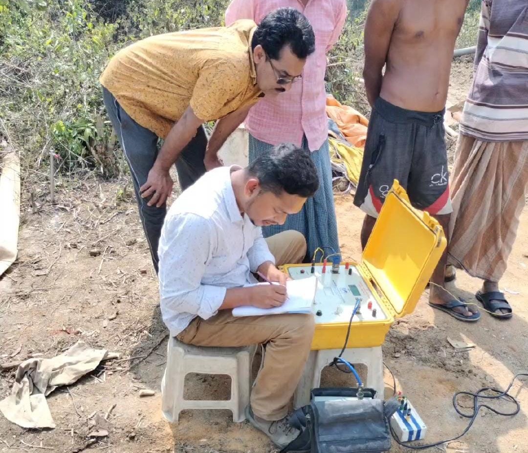
Electrical Resistivity Tomography (ERT) — ERT maps variations in the electrical resistivity of subsurface materials across both depth and horizontal distance, producing a detailed 2D or 3D cross-section of the ground. It’s one of the most reliable methods for identifying aquifer zones, clay layers, bedrock depth, and groundwater-bearing formations.
Seismic Refraction Tomography (SRT) — SRT uses the travel time of seismic waves generated at the surface to map subsurface layering and rock competency. It’s particularly valuable for geotechnical investigations, revealing bedrock depth and the mechanical strength of subsurface materials — critical information for foundation design.
Induced Polarization (IP) Studies — IP surveys measure the ability of subsurface materials to retain electrical charge, making them especially effective for identifying clay content, mineralization, and contamination plumes that resistivity alone might miss.
Magnetic Surveys — These detect variations in the Earth’s magnetic field caused by buried metallic objects, geological structures, or mineral deposits — useful for both utility mapping and geological structural analysis.
Why Start with Surface Surveys?
- Cost efficiency — Surface surveys are far less expensive than exploratory drilling, and they narrow down the best locations before any boring begins.
- Risk reduction — Drilling blind often results in dry or low-yield boreholes. Surface geophysical data dramatically improves the odds of a productive well.
- Non-invasive investigation — No excavation or drilling is required, making these methods ideal for sites where disturbance must be minimized.
- Structural and geological insight — Beyond groundwater, these surveys reveal fault lines, rock competency, and subsurface anomalies relevant to foundation and infrastructure design.
How This Fits Into a Larger Project
Surface geophysical surveys are rarely a standalone service — they’re typically the first step in a broader investigation that may include VES surveys, resistivity mapping, and eventually subsurface logging once a borehole is drilled. Used together, surface and subsurface methods give a complete, verified picture of the ground, from initial site screening through to final well design.
Earth Care Products & Service has applied these methods across industrial, infrastructure, and institutional projects, helping clients make confident, data-backed decisions before committing resources to drilling or construction.
Contact us: ecpskol@gmail.com | 033 2576 8701 | 6290023645 / 9339638868


Leave a Reply