
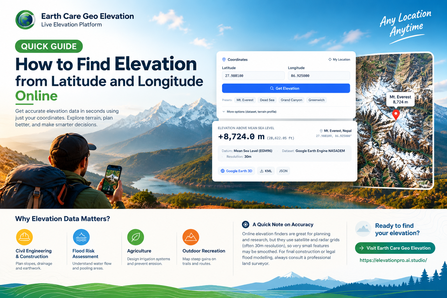
Whether you are scouting a hiking trail, planning a construction project, or mapping out agricultural drainage, knowing your exact height above sea level is crucial. You no longer need expensive surveying equipment to get a solid baseline. Today, you can easily find elevation from latitude and longitude using a simple online tool.
Here is a quick overview of how elevation data works and how to look it up in seconds.
What Is Elevation? Elevation is simply the vertical height of a location on the Earth’s surface relative to a fixed reference point—usually mean sea level (MSL). It is different from altitude, which measures how high an object (like a drone or airplane) is in the air.
Digital Elevation Models (DEMs) map these ground heights across the globe, allowing online tools to instantly read the terrain data for any given GPS coordinate.
How to Check Your Elevation in 3 Simple Steps
Finding the elevation of any spot on Earth takes less than a minute:
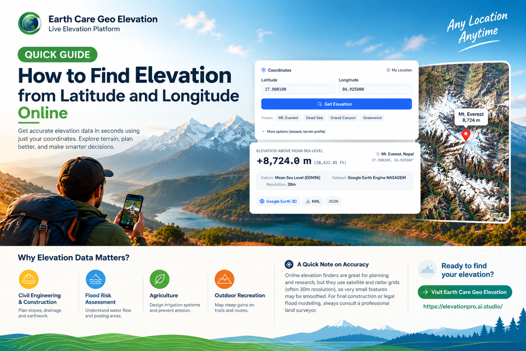
1. Get Your Coordinates: Find the latitude and longitude of your target location. Remember, latitude (North/South) always comes before longitude (East/West).2. Enter Your Data: Go to an online elevation calculator like Earth Care Geo Elevation. Type or paste your coordinates into the search fields.3. Get Your Results: Hit the lookup button. The tool will instantly query global terrain datasets and return your elevation in both metres and feet.
You can also use the platform’s interactive land elevation map to visually explore the surrounding slopes, valleys, and peaks.
Why Does Elevation Data Matter? Knowing the exact shape and height of the ground is critical for several real-world applications:
- Civil Engineering & Construction: To calculate slopes, plan drainage, and estimate earth-moving costs.
- Flood Risk Assessment: To understand where rainwater will naturally pool or flow.
- Agriculture: To design effective irrigation systems and prevent soil erosion.
- Outdoor Recreation: To map steep elevation gains on hiking or biking trails.
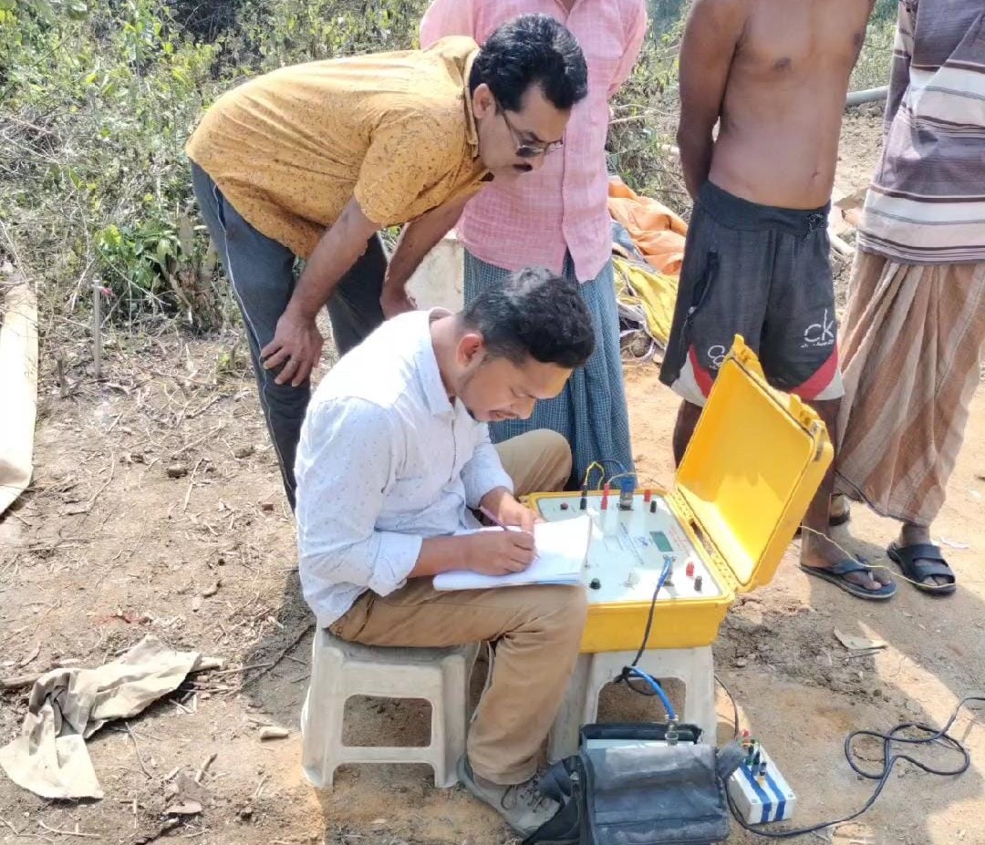
A Quick Note on Accuracy Online elevation finders are incredible tools for preliminary planning, route mapping, and environmental research. However, because they rely on satellite and radar grids (often at a 30-metre resolution), they might smooth over very small terrain features. For final construction grading or legal flood modelling, always consult a professional land surveyor.
Ready to find your elevation? Drop your coordinates and start exploring the terrain today at Earth Care Geo Elevation (https://elevationpro.ai.studio/).

Leave a Reply